
Thank you for supporting this site ❤️
Make a donation
Make a donation
Clarin topographic map
Click on the map to display elevation.
Thank you for supporting this site ❤️
Make a donation
Make a donation
About this map
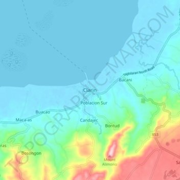
Name: Clarin topographic map, elevation, terrain.
Location: Clarin, Bohol, Central Visayas, 3629, Philippines (9.92261 123.98442 10.00261 124.06442)
Average elevation: 52 m
Minimum elevation: -5 m
Maximum elevation: 285 m
Thank you for supporting this site ❤️
Make a donation
Make a donation