
Danvers topographic map
Interactive map
Click on the map to display elevation.
About this map
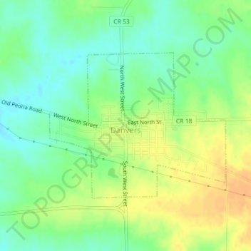
Name: Danvers topographic map, elevation, terrain.
Location: Danvers, McLean County, Illinois, États-Unis d'Amérique (40.52216 -89.18810 40.53781 -89.16309)
Average elevation: 245 m
Minimum elevation: 229 m
Maximum elevation: 262 m
Other topographic maps
Click on a map to view its topography, its elevation and its terrain.
Bloomington
États-Unis d'Amérique > Illinois > McLean County
Bloomington, McLean County, Illinois, États-Unis d'Amérique
Average elevation: 246 m