
Thank you for supporting this site ❤️
Make a donation
Make a donation
Northtown topographic map
Click on the map to display elevation.
Thank you for supporting this site ❤️
Make a donation
Make a donation
About this map
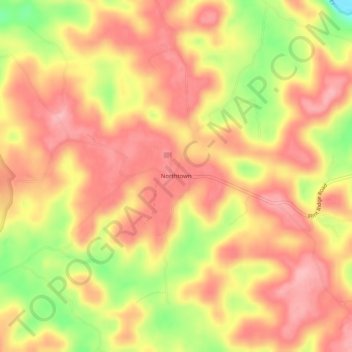
Name: Northtown topographic map, elevation, terrain.
Location: Northtown, Hart County, Kentucky, United States (37.19422 -86.02081 37.23422 -85.98081)
Average elevation: 225 m
Minimum elevation: 141 m
Maximum elevation: 269 m
Thank you for supporting this site ❤️
Make a donation
Make a donation
Other topographic maps
Click on a map to view its topography, its elevation and its terrain.