
Thank you for supporting this site ❤️
Make a donation
Make a donation
Puracherry topographic map
Click on the map to display elevation.
Thank you for supporting this site ❤️
Make a donation
Make a donation
About this map
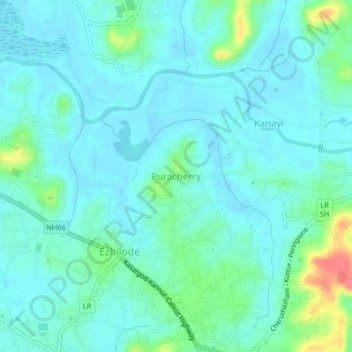
Name: Puracherry topographic map, elevation, terrain.
Location: Puracherry, Payyannur Taluk, Kannur, Kerala, 670309, India (12.08138 75.23493 12.12138 75.27493)
Average elevation: 12 m
Minimum elevation: -4 m
Maximum elevation: 62 m
Thank you for supporting this site ❤️
Make a donation
Make a donation
Other topographic maps
Click on a map to view its topography, its elevation and its terrain.