
Virgilio Vargas topographic map
Interactive map
Click on the map to display elevation.
About this map
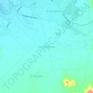
Name: Virgilio Vargas topographic map, elevation, terrain.
Location: Virgilio Vargas, Alto Sinú, Córdoba, 234501, Colombia (8.12886 -76.07741 8.16886 -76.03741)
Average elevation: 57 m
Minimum elevation: 42 m
Maximum elevation: 158 m