
Thank you for supporting this site ❤️
Make a donation
Make a donation
Serra de Alrota topographic map
Click on the map to display elevation.
Thank you for supporting this site ❤️
Make a donation
Make a donation
About this map
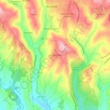
Name: Serra de Alrota topographic map, elevation, terrain.
Location: Serra de Alrota, Bucelas, Loures, Lisboa, 2630-030, Portugal (38.91564 -9.15343 38.95564 -9.11343)
Average elevation: 208 m
Minimum elevation: 100 m
Maximum elevation: 314 m
Thank you for supporting this site ❤️
Make a donation
Make a donation