
Thank you for supporting this site ❤️
Make a donation
Make a donation
Nagni topographic map
Click on the map to display elevation.
Thank you for supporting this site ❤️
Make a donation
Make a donation
About this map
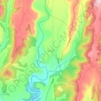
Name: Nagni topographic map, elevation, terrain.
Location: Nagni, Dhira, Kangra, Himachal Pradesh, 176093, India (31.95823 76.44462 31.99823 76.48462)
Average elevation: 768 m
Minimum elevation: 646 m
Maximum elevation: 887 m
Thank you for supporting this site ❤️
Make a donation
Make a donation