
Thank you for supporting this site ❤️
Make a donation
Make a donation
Saint Charles topographic map
Click on the map to display elevation.
Thank you for supporting this site ❤️
Make a donation
Make a donation
About this map
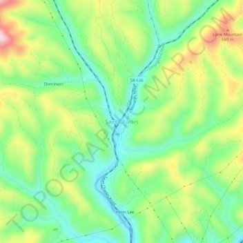
Name: Saint Charles topographic map, elevation, terrain.
Location: Saint Charles, Lee County, Virginia, 24282, United States (36.78471 -83.07724 36.82471 -83.03724)
Average elevation: 561 m
Minimum elevation: 451 m
Maximum elevation: 741 m
Thank you for supporting this site ❤️
Make a donation
Make a donation
Other topographic maps
Click on a map to view its topography, its elevation and its terrain.