
Thank you for supporting this site ❤️
Make a donation
Make a donation
Ko Phet topographic map
Click on the map to display elevation.
Thank you for supporting this site ❤️
Make a donation
Make a donation
About this map
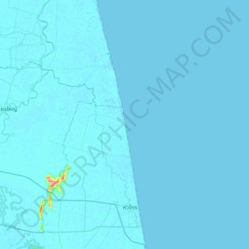
Name: Ko Phet topographic map, elevation, terrain.
Location: Ko Phet, Hua Sai, Nakhon Si Thammarat Province, Thailand (7.98854 100.13827 8.30854 100.45827)
Average elevation: 2 m
Minimum elevation: -3 m
Maximum elevation: 160 m
Thank you for supporting this site ❤️
Make a donation
Make a donation