
Thank you for supporting this site ❤️
Make a donation
Make a donation
Cibanten topographic map
Click on the map to display elevation.
Thank you for supporting this site ❤️
Make a donation
Make a donation
About this map
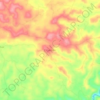
Name: Cibanten topographic map, elevation, terrain.
Location: Cibanten, Pangandaran, West Java, Java, Indonesia (-7.71388 108.38265 -7.67388 108.42265)
Average elevation: 116 m
Minimum elevation: 38 m
Maximum elevation: 168 m
Thank you for supporting this site ❤️
Make a donation
Make a donation