
Thank you for supporting this site ❤️
Make a donation
Make a donation
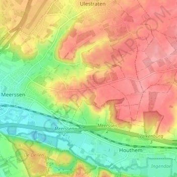
Raar topographic map
Click on the map to display elevation.
Thank you for supporting this site ❤️
Make a donation
Make a donation
Raar
Raar (Limburgs: Raor) is een buurtschap in de gemeente Meerssen in de Nederlandse provincie Limburg. Deze ligt op het Centraal Plateau, tussen Meerssen en Groot Haasdal op een hoogte van ongeveer 120 meter.
Thank you for supporting this site ❤️
Make a donation
Make a donation
About this map
Name: Raar topographic map, elevation, terrain.
Location: Raar, Meerssen, Limburg, Nederland, 6231 RP, Nederland (50.86649 5.76002 50.90649 5.80002)
Average elevation: 99 m
Minimum elevation: 48 m
Maximum elevation: 142 m
Thank you for supporting this site ❤️
Make a donation
Make a donation