
Thank you for supporting this site ❤️
Make a donation
Make a donation
New Alresford topographic map
Click on the map to display elevation.
Thank you for supporting this site ❤️
Make a donation
Make a donation
About this map
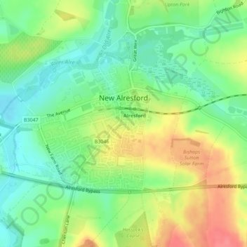
Name: New Alresford topographic map, elevation, terrain.
Location: New Alresford, Winchester, Hampshire, England, United Kingdom (51.07896 -1.18416 51.09447 -1.15170)
Average elevation: 82 m
Minimum elevation: 54 m
Maximum elevation: 123 m
Thank you for supporting this site ❤️
Make a donation
Make a donation
Other topographic maps
Click on a map to view its topography, its elevation and its terrain.