
Lyme topographic map
Interactive map
Click on the map to display elevation.
About this map
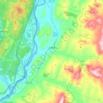
Name: Lyme topographic map, elevation, terrain.
Location: Lyme, Grafton County, New Hampshire, États-Unis (43.73730 -72.20592 43.87270 -72.02690)
Average elevation: 297 m
Minimum elevation: 112 m
Maximum elevation: 699 m