
Isangi topographic map
Interactive map
Click on the map to display elevation.
About this map
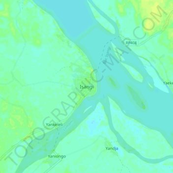
Name: Isangi topographic map, elevation, terrain.
Location: Isangi, Orientale, Tshopo, Democratic Republic of the Congo (0.73954 24.22909 0.81954 24.30909)
Average elevation: 371 m
Minimum elevation: 367 m
Maximum elevation: 381 m