
Thank you for supporting this site ❤️
Make a donation
Make a donation
El Chelón topographic map
Click on the map to display elevation.
Thank you for supporting this site ❤️
Make a donation
Make a donation
About this map
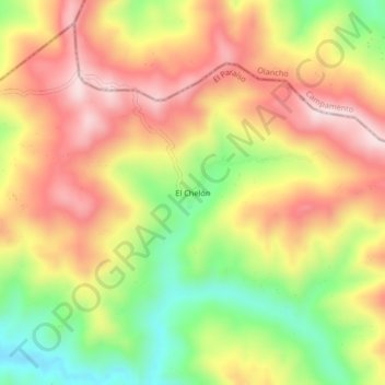
Name: El Chelón topographic map, elevation, terrain.
Location: El Chelón, Teupasenti, El Paraíso, Honduras (14.38505 -86.72056 14.42505 -86.68056)
Average elevation: 1,022 m
Minimum elevation: 806 m
Maximum elevation: 1,207 m
Thank you for supporting this site ❤️
Make a donation
Make a donation