
Wells topographic map
Interactive map
Click on the map to display elevation.
About this map
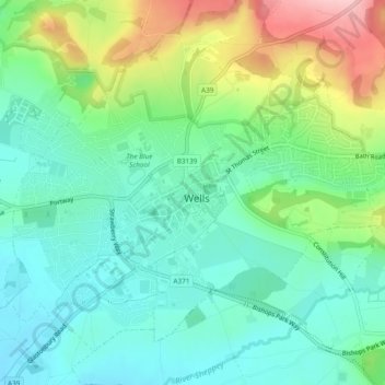
Name: Wells topographic map, elevation, terrain.
Location: Wells, Mendip, Somerset, Zuidwest-Engeland, Engeland, VK (51.19764 -2.66890 51.22207 -2.62136)
Average elevation: 68 m
Minimum elevation: 16 m
Maximum elevation: 186 m
Other topographic maps
Click on a map to view its topography, its elevation and its terrain.