
朱元乡 topographic map
Interactive map
Click on the map to display elevation.
About this map
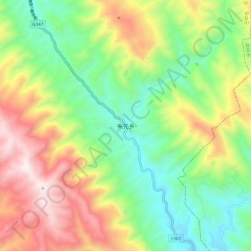
Name: 朱元乡 topographic map, elevation, terrain.
Location: 朱元乡, 通江县, 巴中市, 四川省, 中国 (32.22705 107.61354 32.30705 107.69354)
Average elevation: 1,029 m
Minimum elevation: 555 m
Maximum elevation: 1,739 m
Other topographic maps
Click on a map to view its topography, its elevation and its terrain.