
Pehowa topographic map
Click on the map to display elevation.
Pehowa
Pehowa is located at 29°59′N 76°35′E / 29.98°N 76.58°E / 29.98; 76.58. It has an average elevation of 224 metres (734 feet). The Tehsil Pehowa was created on 1 November 1979 and is situated at a distance of 27 km in west from Kurukshetra. and 26 km North-west from Pundri
About this map
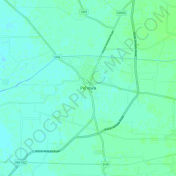
Name: Pehowa topographic map, elevation, terrain.
Location: Pehowa, Kurukshetra, Haryana, 132128, India (29.93837 76.54324 30.01837 76.62324)
Average elevation: 246 m
Minimum elevation: 243 m
Maximum elevation: 250 m