
Thank you for supporting this site ❤️
Make a donation
Make a donation
Bavastrelli topographic map
Click on the map to display elevation.
Thank you for supporting this site ❤️
Make a donation
Make a donation
About this map
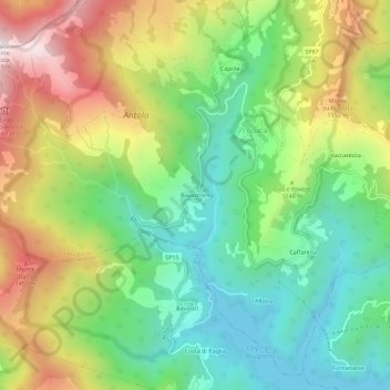
Name: Bavastrelli topographic map, elevation, terrain.
Location: Bavastrelli, Propata, Genoa, Liguria, 16027, Italy (44.53887 9.15758 44.57887 9.19758)
Average elevation: 1,089 m
Minimum elevation: 772 m
Maximum elevation: 1,579 m
Thank you for supporting this site ❤️
Make a donation
Make a donation