
Thank you for supporting this site ❤️
Make a donation
Make a donation
Ashby Parva topographic map
Click on the map to display elevation.
Thank you for supporting this site ❤️
Make a donation
Make a donation
About this map
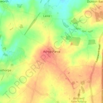
Name: Ashby Parva topographic map, elevation, terrain.
Average elevation: 123 m
Minimum elevation: 93 m
Maximum elevation: 148 m
Thank you for supporting this site ❤️
Make a donation
Make a donation
Other topographic maps
Click on a map to view its topography, its elevation and its terrain.
Eyebrook Reservoir
United Kingdom > England > Leicestershire > Harborough District > Stockerston
Average elevation: 85 m
Carlton Carlieu
United Kingdom > England > Leicestershire > Harborough District > Carlton Carlieu
Average elevation: 135 m