
Thank you for supporting this site ❤️
Make a donation
Make a donation
Lop Buri topographic map
Click on the map to display elevation.
Thank you for supporting this site ❤️
Make a donation
Make a donation
Lop Buri
Lopburi lies on the Lopburi River at an elevation of 20 metres (66 ft) mostly surrounded by alluvial plains, although some hills rise to between 300 metres (980 ft) and 600 metres (2,000 ft) to the north-east.
Thank you for supporting this site ❤️
Make a donation
Make a donation
About this map
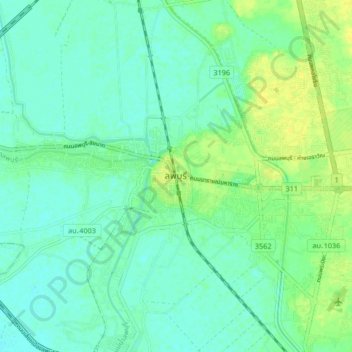
Name: Lop Buri topographic map, elevation, terrain.
Average elevation: 12 m
Minimum elevation: 5 m
Maximum elevation: 24 m
Thank you for supporting this site ❤️
Make a donation
Make a donation