
Thank you for supporting this site ❤️
Make a donation
Make a donation
Grimentz topographic map
Click on the map to display elevation.
Thank you for supporting this site ❤️
Make a donation
Make a donation
About this map
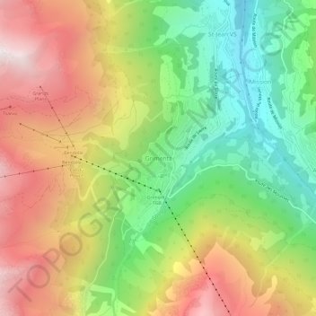
Name: Grimentz topographic map, elevation, terrain.
Location: Grimentz, Anniviers, Sierre, Wallis, 3961, Switzerland (46.16029 7.55383 46.20029 7.59383)
Average elevation: 1,881 m
Minimum elevation: 1,204 m
Maximum elevation: 2,664 m
Thank you for supporting this site ❤️
Make a donation
Make a donation
Other topographic maps
Click on a map to view its topography, its elevation and its terrain.