
Leavenworth County topographic map
Interactive map
Click on the map to display elevation.
About this map
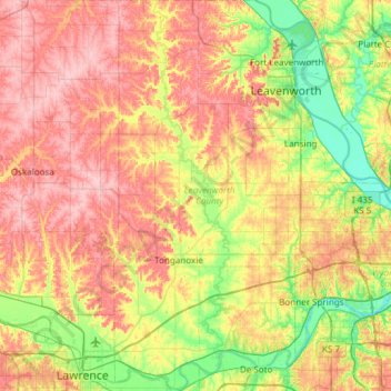
Name: Leavenworth County topographic map, elevation, terrain.
Location: Leavenworth County, Kansas, Estados Unidos da América (38.95384 -95.18783 39.41922 -94.77553)
Average elevation: 290 m
Minimum elevation: 223 m
Maximum elevation: 365 m