
Thank you for supporting this site ❤️
Make a donation
Make a donation
Hunt topographic map
Click on the map to display elevation.
Thank you for supporting this site ❤️
Make a donation
Make a donation
About this map
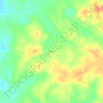
Name: Hunt topographic map, elevation, terrain.
Location: Hunt, Columbia County, Arkansas, United States (33.15819 -93.37573 33.19819 -93.33573)
Average elevation: 82 m
Minimum elevation: 58 m
Maximum elevation: 106 m
Thank you for supporting this site ❤️
Make a donation
Make a donation
Other topographic maps
Click on a map to view its topography, its elevation and its terrain.