
Thank you for supporting this site ❤️
Make a donation
Make a donation
Nathaniel topographic map
Click on the map to display elevation.
Thank you for supporting this site ❤️
Make a donation
Make a donation
About this map
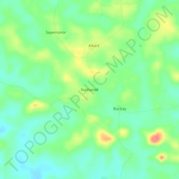
Name: Nathaniel topographic map, elevation, terrain.
Location: Nathaniel, Senjeh, Bomi County, Liberia (6.86268 -10.92298 6.90268 -10.88298)
Average elevation: 68 m
Minimum elevation: 44 m
Maximum elevation: 113 m
Thank you for supporting this site ❤️
Make a donation
Make a donation