
Make a donation
Pico das Agulhas Negras topographic map
Click on the map to display elevation.
Make a donation
Pico das Agulhas Negras
A mountain shelter called Abrigo Rebouças is located near the base of the peak, at an elevation of about 2,350 metres (7,710 ft). It is accessible by a gravel road (BR-485) from the BR-354 federal highway at the Garganta do Registro mountain pass, via Itatiaia National Park's north entrance. The access road reaches an altitude of 2,460 metres (8,070 ft) at the entrance of the park, and a short spur from it leading to a communications tower of the Eletrobras Furnas electricity company reaches 2,662 metres (8,734 ft); these are the highest points one can reach in a regular car (as opposed to off-road vehicles) in Brazil.
Make a donation
About this map
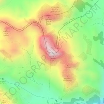
Name: Pico das Agulhas Negras topographic map, elevation, terrain.
Average elevation: 2,454 m
Minimum elevation: 2,147 m
Maximum elevation: 2,769 m
Make a donation