
Thank you for supporting this site ❤️
Make a donation
Make a donation
Saint Catharine topographic map
Click on the map to display elevation.
Thank you for supporting this site ❤️
Make a donation
Make a donation
About this map
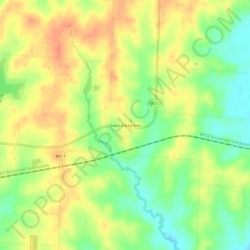
Name: Saint Catharine topographic map, elevation, terrain.
Location: Saint Catharine, Linn County, Missouri, United States (39.77586 -93.01381 39.81586 -92.97381)
Average elevation: 249 m
Minimum elevation: 224 m
Maximum elevation: 269 m
Thank you for supporting this site ❤️
Make a donation
Make a donation
Other topographic maps
Click on a map to view its topography, its elevation and its terrain.