
Thank you for supporting this site ❤️
Make a donation
Make a donation
Scharrl topographic map
Click on the map to display elevation.
Thank you for supporting this site ❤️
Make a donation
Make a donation
About this map
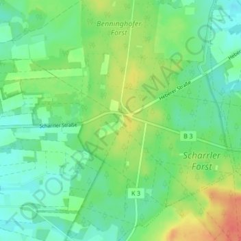
Name: Scharrl topographic map, elevation, terrain.
Location: Scharrl, Schneverdingen, Heidekreis, Niedersachsen, Deutschland (53.06735 9.88593 53.10735 9.92593)
Average elevation: 93 m
Minimum elevation: 76 m
Maximum elevation: 122 m
Thank you for supporting this site ❤️
Make a donation
Make a donation