
Thank you for supporting this site ❤️
Make a donation
Make a donation
Al salam A topographic map
Click on the map to display elevation.
Thank you for supporting this site ❤️
Make a donation
Make a donation
About this map
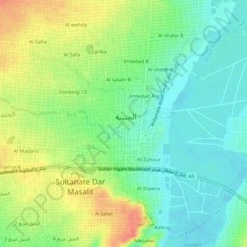
Name: Al salam A topographic map, elevation, terrain.
Location: Al salam A, El Geneina, Al Geneina, West Darfur, 00078, Sudan (13.42091 22.42561 13.46091 22.46561)
Average elevation: 794 m
Minimum elevation: 773 m
Maximum elevation: 826 m
Thank you for supporting this site ❤️
Make a donation
Make a donation