
Turnhout topographic map
Interactive map
Click on the map to display elevation.
About this map
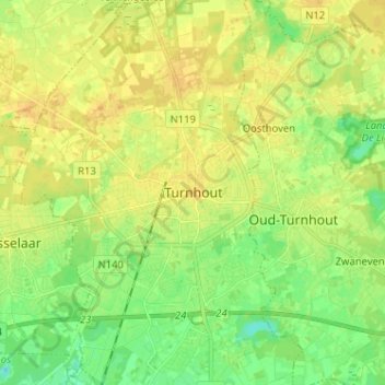
Name: Turnhout topographic map, elevation, terrain.
Location: Turnhout, Anvers, Flandre, 2300, Belgique (51.28338 4.90846 51.36338 4.98846)
Average elevation: 25 m
Minimum elevation: 11 m
Maximum elevation: 35 m
Other topographic maps
Click on a map to view its topography, its elevation and its terrain.