
Sangre Grande topographic map
Interactive map
Click on the map to display elevation.
About this map
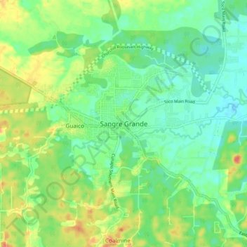
Name: Sangre Grande topographic map, elevation, terrain.
Location: Sangre Grande, 450626, Trinidad and Tobago (10.54692 -61.16844 10.62692 -61.08844)
Average elevation: 21 m
Minimum elevation: 3 m
Maximum elevation: 51 m
Other topographic maps
Click on a map to view its topography, its elevation and its terrain.
Oropouche River
Trinidad and Tobago > Sangre Grande > Sangre Grande
Oropouche River, Sangre Grande, 450626, Trinidad and Tobago
Average elevation: 14 m