
Sæból topographic map
Interactive map
Click on the map to display elevation.
About this map
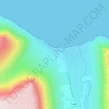
Name: Sæból topographic map, elevation, terrain.
Location: Sæból, Ísafjarðarbær, Westfjords, Iceland (66.04706 -23.71635 66.06706 -23.69635)
Average elevation: 101 m
Minimum elevation: -1 m
Maximum elevation: 524 m
Other topographic maps
Click on a map to view its topography, its elevation and its terrain.
Suðureyri
Suðureyri, Ísafjarðarbær, Westfjords, 430, Iceland
Average elevation: 144 m