
Thank you for supporting this site ❤️
Make a donation
Make a donation
Sarafpalle topographic map
Click on the map to display elevation.
Thank you for supporting this site ❤️
Make a donation
Make a donation
About this map
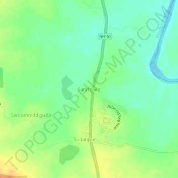
Name: Sarafpalle topographic map, elevation, terrain.
Location: Sarafpalle, Choutkur mandal, Sangareddy, Telangana, India (17.71024 78.07115 17.75024 78.11115)
Average elevation: 500 m
Minimum elevation: 485 m
Maximum elevation: 522 m
Thank you for supporting this site ❤️
Make a donation
Make a donation