
Thank you for supporting this site ❤️
Make a donation
Make a donation
Manaca topographic map
Click on the map to display elevation.
Thank you for supporting this site ❤️
Make a donation
Make a donation
About this map
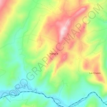
Name: Manaca topographic map, elevation, terrain.
Location: Manaca, Chocontá, Almeidas, RAP (Especial) Central, Colombia (5.10739 -73.74479 5.14739 -73.70479)
Average elevation: 2,736 m
Minimum elevation: 2,591 m
Maximum elevation: 2,930 m
Thank you for supporting this site ❤️
Make a donation
Make a donation