
Thank you for supporting this site ❤️
Make a donation
Make a donation
Abbeville topographic map
Click on the map to display elevation.
Thank you for supporting this site ❤️
Make a donation
Make a donation
About this map
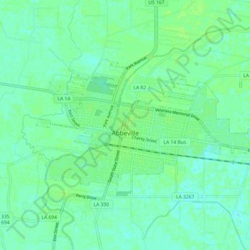
Name: Abbeville topographic map, elevation, terrain.
Location: Abbeville, Vermilion Parish, Louisiana, 70510, United States (29.95691 -92.16533 29.99695 -92.07840)
Average elevation: 5 m
Minimum elevation: -1 m
Maximum elevation: 9 m
Thank you for supporting this site ❤️
Make a donation
Make a donation
Other topographic maps
Click on a map to view its topography, its elevation and its terrain.