
Kankakee County topographic map
Interactive map
Click on the map to display elevation.
About this map
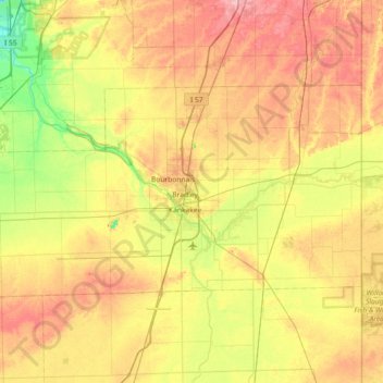
Name: Kankakee County topographic map, elevation, terrain.
Location: Kankakee County, Illinois, Estados Unidos da América (40.99455 -88.25143 41.29807 -87.52618)
Average elevation: 201 m
Minimum elevation: 154 m
Maximum elevation: 254 m