
Tarum topographic map
Interactive map
Click on the map to display elevation.
About this map
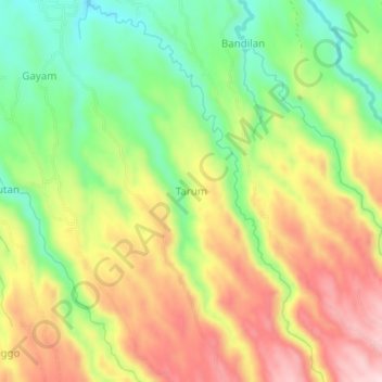
Name: Tarum topographic map, elevation, terrain.
Location: Tarum, Bondowoso, Jatim, Indonésie (-7.89662 114.00177 -7.85662 114.04177)
Average elevation: 345 m
Minimum elevation: 202 m
Maximum elevation: 501 m