
Bejasar topographic map
Click on the map to display elevation.
About this map
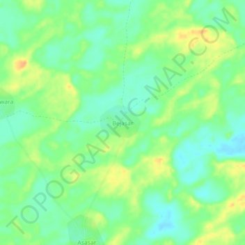
Name: Bejasar topographic map, elevation, terrain.
Location: Bejasar, Sardarshahar Tehsil, Churu, Rajasthan, India (28.28946 74.22040 28.32946 74.26040)
Average elevation: 245 m
Minimum elevation: 230 m
Maximum elevation: 264 m