
El Tinaco topographic map
Interactive map
Click on the map to display elevation.
About this map
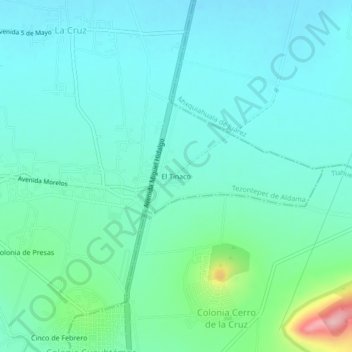
Name: El Tinaco topographic map, elevation, terrain.
Location: El Tinaco, Tezontepec de Aldama, Hidalgo, 42764, México (20.13917 -99.24917 20.17917 -99.20917)
Average elevation: 2,043 m
Minimum elevation: 2,010 m
Maximum elevation: 2,182 m