
The Stillwater topographic map
Interactive map
Click on the map to display elevation.
About this map
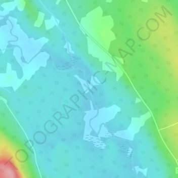
Name: The Stillwater topographic map, elevation, terrain.
Average elevation: 51 m
Minimum elevation: 23 m
Maximum elevation: 170 m
Other topographic maps
Click on a map to view its topography, its elevation and its terrain.
Digdeguash Lake
Canada > Nouveau-Brunswick > Digdeguash
Digdeguash Lake, Lake Shore Road, Digdeguash, Saint Patrick Parish, Comté de Charlotte, Nouveau-Brunswick, Canada
Average elevation: 60 m