
Thank you for supporting this site ❤️
Make a donation
Make a donation
Sills topographic map
Click on the map to display elevation.
Thank you for supporting this site ❤️
Make a donation
Make a donation
About this map
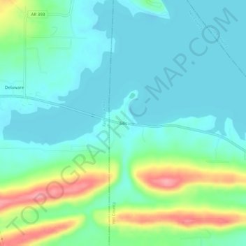
Name: Sills topographic map, elevation, terrain.
Location: Sills, Yell County, Arkansas, United States (35.25786 -93.29712 35.29786 -93.25712)
Average elevation: 128 m
Minimum elevation: 102 m
Maximum elevation: 205 m
Thank you for supporting this site ❤️
Make a donation
Make a donation
Other topographic maps
Click on a map to view its topography, its elevation and its terrain.