
Provincia de Candarave topographic map
Interactive map
Click on the map to display elevation.
About this map
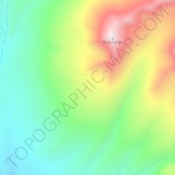
Name: Provincia de Candarave topographic map, elevation, terrain.
Location: Provincia de Candarave, Candarave, Tacna, Perú (-17.14768 -70.28851 -17.10768 -70.24851)
Average elevation: 4,373 m
Minimum elevation: 4,028 m
Maximum elevation: 4,934 m
Other topographic maps
Click on a map to view its topography, its elevation and its terrain.