
Hollandscheveld topographic map
Interactive map
Click on the map to display elevation.
About this map
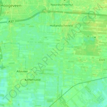
Name: Hollandscheveld topographic map, elevation, terrain.
Location: Hollandscheveld, Hoogeveen, Drente, Niederlande (52.65451 6.48451 52.71901 6.60715)
Average elevation: 12 m
Minimum elevation: 6 m
Maximum elevation: 19 m