
Bellas Fuentes topographic map
Interactive map
Click on the map to display elevation.
About this map
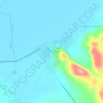
Name: Bellas Fuentes topographic map, elevation, terrain.
Location: Bellas Fuentes, Coeneo, Michoacán, México (19.80131 -101.69942 19.84131 -101.65942)
Average elevation: 2,005 m
Minimum elevation: 1,981 m
Maximum elevation: 2,163 m
Other topographic maps
Click on a map to view its topography, its elevation and its terrain.
Cortijo Nuevo
Cortijo Nuevo, Coeneo, Michoacán, México
Average elevation: 2,028 m