
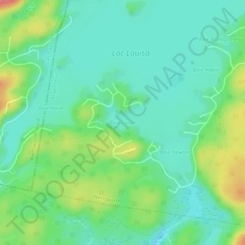
Baie Caron topographic map
Interactive map
Click on the map to display elevation.
About this map
Name: Baie Caron topographic map, elevation, terrain.
Average elevation: 284 m
Minimum elevation: 257 m
Maximum elevation: 348 m
Other topographic maps
Click on a map to view its topography, its elevation and its terrain.
Lac Louisa
Canada > Québec > Argenteuil > Wentworth
Lac Louisa, Wentworth, Argenteuil, Laurentides, Québec, Canada
Average elevation: 297 m