
Thank you for supporting this site ❤️
Make a donation
Make a donation
10.000 topographic map
Click on the map to display elevation.
Thank you for supporting this site ❤️
Make a donation
Make a donation
About this map
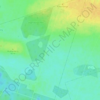
Name: 10.000 topographic map, elevation, terrain.
Location: 10.000, Haldensleben, Börde, Саксония-Анхальт, 39345, Германия (52.36165 11.52443 52.38165 11.54443)
Average elevation: 77 m
Minimum elevation: 67 m
Maximum elevation: 91 m
Thank you for supporting this site ❤️
Make a donation
Make a donation