
Bulingen topographic map
Interactive map
Click on the map to display elevation.
About this map
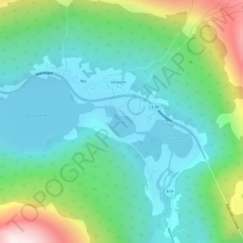
Name: Bulingen topographic map, elevation, terrain.
Location: Bulingen, Langeneset, Volda, Møre og Romsdal, Norvège (62.05467 6.38061 62.05825 6.38852)
Average elevation: 224 m
Minimum elevation: 16 m
Maximum elevation: 841 m
Other topographic maps
Click on a map to view its topography, its elevation and its terrain.