
Mansfield topographic map
Interactive map
Click on the map to display elevation.
About this map
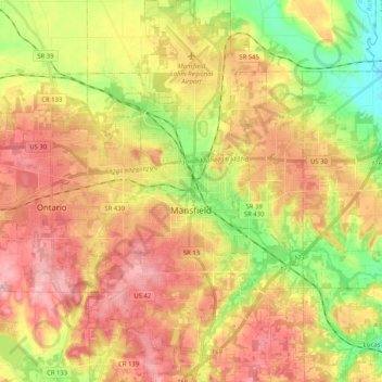
Name: Mansfield topographic map, elevation, terrain.
Location: Mansfield, Richland County, Ohio, États-Unis d'Amérique (40.68862 -82.59007 40.84363 -82.45608)
Average elevation: 387 m
Minimum elevation: 302 m
Maximum elevation: 461 m