
Memere topographic map
Interactive map
Click on the map to display elevation.
About this map
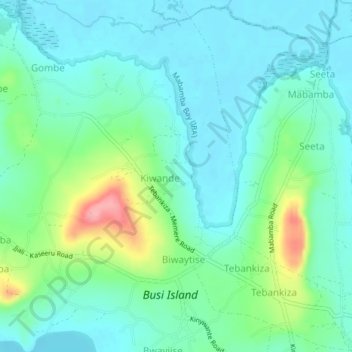
Name: Memere topographic map, elevation, terrain.
Location: Memere, Entebbe City, Wakiso, Central Region, Ouganda (0.02751 32.31065 0.06751 32.35065)
Average elevation: 1,156 m
Minimum elevation: 1,129 m
Maximum elevation: 1,241 m