
Körner topographic map
Interactive map
Click on the map to display elevation.
About this map
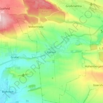
Name: Körner topographic map, elevation, terrain.
Average elevation: 258 m
Minimum elevation: 185 m
Maximum elevation: 394 m
Körner ist eine ländliche Gemeinde im Unstrut-Hainich-Kreis in Thüringen (Deutschland). Erfüllende Gemeinde für Körner ist die Stadt Nottertal-Heilinger Höhen.